
The impact
Four industries. One coastline. Everything to lose.
The proposed nuclear facility doesn’t just threaten the environment. It would permanently reshape the economy, communities, and character of the entire Kouga region. These are the sectors directly at stake.
HERITAGE
160,000 years of human history
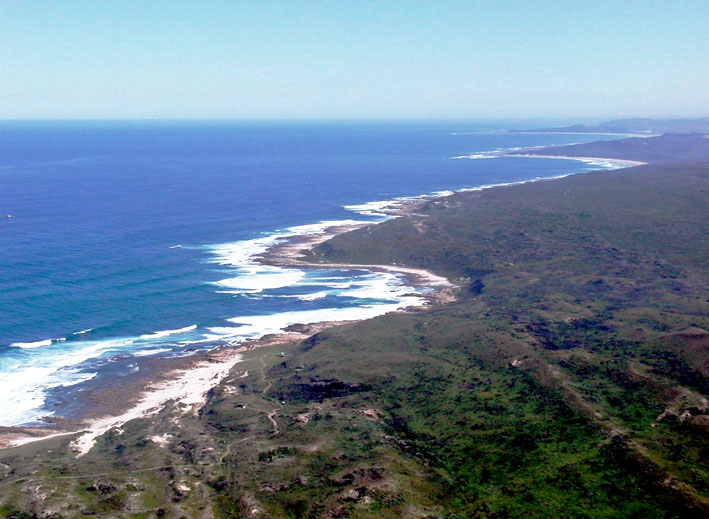
n January 2025, the South African Heritage Resources Agency provisionally declared the entire Thyspunt site a Grade I Cultural Landscape under the National Heritage Resources Act — the highest level of heritage protection in South African law. The same level as Robben Island.
The Thyspunt coastline contains archaeological deposits spanning 160,000 years of human occupation. It is among the oldest evidence of modern human behaviour on earth — shellfish tools, ochre, and materials that helped researchers understand the emergence of abstract thought. This is not a footnote. This is part of the story of what it means to be human.
The Draft Scoping Report does not adequately address what the Grade I provisional declaration means for the project, does not clarify the Section 28 permit requirement it triggers, and does not explain how a 5,200 MW nuclear facility could be compatible with a landscape subject to the highest level of national heritage protection.
HERITAGE — SAHRA GAZETTE NO. 52013, JANUARY 2025
“The provisional Grade I Cultural Landscape declaration covers the Thyspunt development footprint and lapses 1 February 2027.”
South African Heritage Resources Agency
FISHING & MARINE LIFE
The ocean that feeds this community.
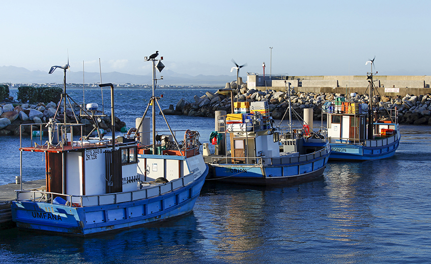
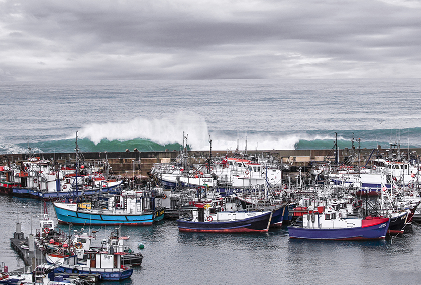
The chokka squid fishery operating out of St Francis Bay and the broader Algoa Bay region is one of South Africa’s most economically significant inshore fisheries. It supports hundreds of livelihoods across the Kouga Local Municipality — commercial operators and small-scale fishers alike.
The proposed cooling system would draw up to 76,000 litres of seawater per second per reactor unit directly through the squid spawning habitat offshore of Thyspunt. The marine ecology report identifies impacts on marine ecosystems as Very High before mitigation. This assessment has not been modelled at the full 5,200 MW operational scale. No independent peer review equivalent to that conducted for the Duynefontein studies has been carried out for Thyspunt.
Construction of the power station requires excavating 6.4 million cubic metres of sand. The current proposal is that most of it — 4.5 million cubic metres — would be disposed of in the ocean offshore of Thyspunt. Eskom’s own 2026 oceanography report rates the surf break impact at Thyspunt as Medium significance and uses the word ‘irreversible.’ At the alternative site Bantamsklip, the same report rates the same impact as Very Low with High confidence. The surf break differential was not included as a criterion in the site suitability comparison.
AGRICULTURE
The land that provides for our nation
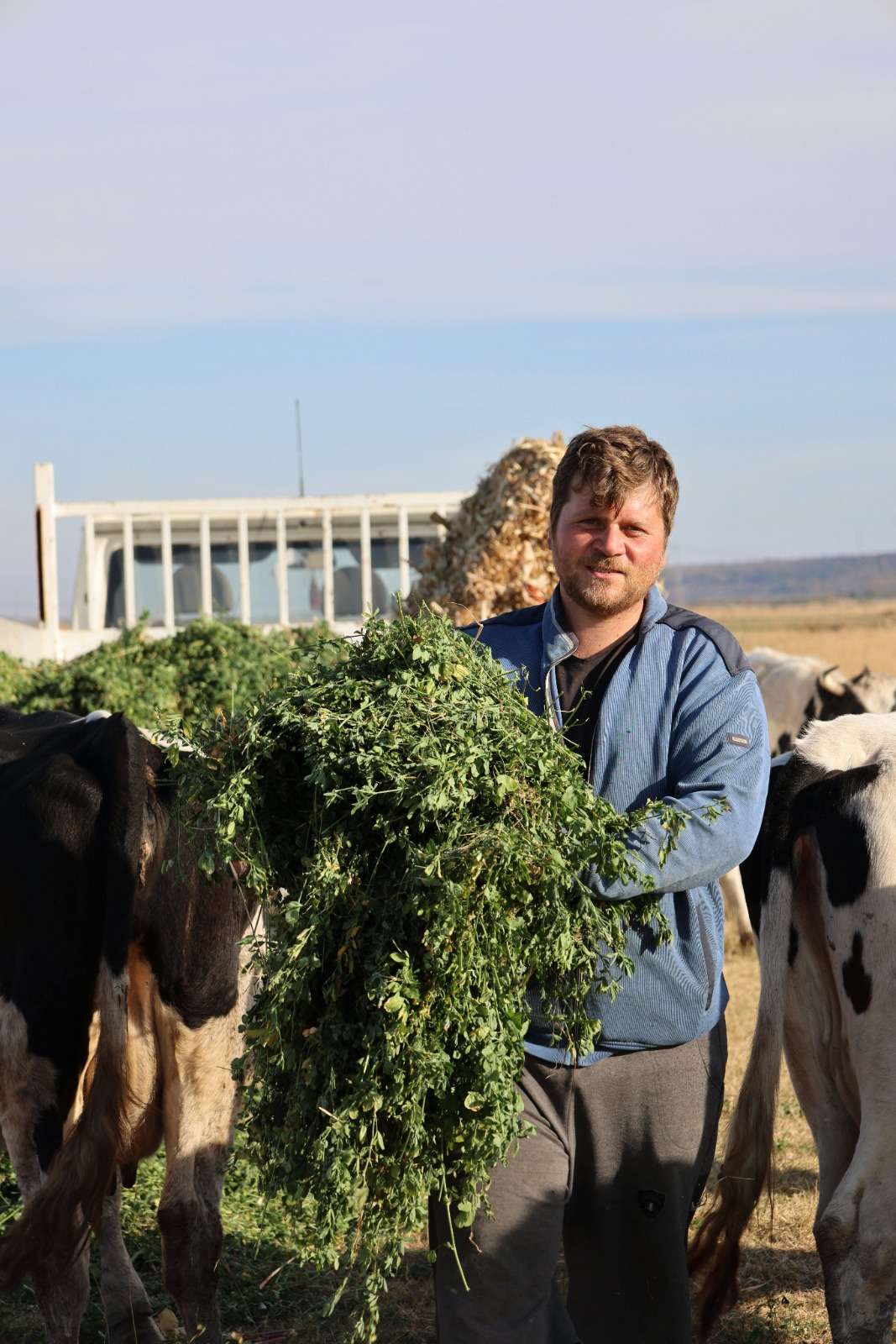
The farms surrounding Thyspunt are among the most productive dairy operations in South Africa. They supply milk and dairy products nationally. They depend on reliable groundwater, healthy wetlands, and irrigated pastures — most of which fall within the Tsitsikamma Protected Agricultural Area, formally classified as having very high agricultural sensitivity.
Construction of a nuclear facility at this scale involves large-scale excavation, dewatering, and significant groundwater disturbance. The Agricultural Scoping Report acknowledges these sensitivities but does not adequately address how impacts on water availability and pasture productivity would be managed beyond the immediate development footprint.
For dairy farmers in this region, water reliability isn't an abstract concern. It is the foundation of the business. Any sustained reduction in groundwater availability — or increased competition for water resources during a multi-year construction phase — would have direct consequences for farm productivity, employment, and the long-term viability of the region's agricultural economy.
These are questions the current scoping report has not answered.
TOURISM & PROPERTY
Your property. Your view. Your investment.
Eskom’s own visual specialist assessed the proposed facility and rated its impact on the coastal landscape as HIGH — the highest possible rating. The specialist confirmed there is no effective mitigation. Reactor buildings, cooling towers and transmission infrastructure of this scale cannot be screened, reduced in height, or concealed within the coastal viewshed.
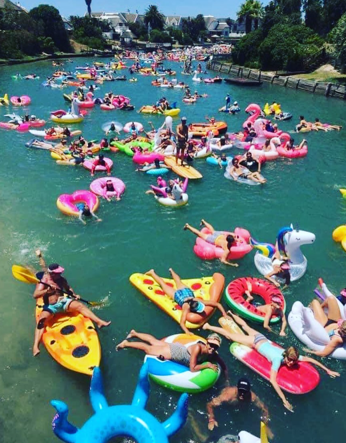
St Francis Bay’s economy depends on the coastline being beautiful, accessible, and unspoilt. That is what people pay to live near. That is what drives the holiday rental market, the retirement property market, and the destination tourism economy. A nuclear facility changes all of that permanently.
The applicant’s town planning specialist confirms that St Francis Bay lies within the 16km nuclear monitoring and emergency zone of the proposed facility. Within that zone, all rezoning and development applications must be reviewed by Eskom Nuclear Sites Department. New residential development is formally discouraged. Standard South African insurance policies typically exclude nuclear incidents. The Kouga Spatial Development Framework records that institutions housing large numbers of people — hospitals, retirement homes — should not be built within 16km of the site due to evacuation difficulties.
The socio-economic report rates property devaluation as HIGH before mitigation. It provides no quantification, no area-specific study, and no compensation framework.
The SFPO NPC — representing over 1,600 property owners — has privately funded R142 million in coastal protection infrastructure through the Long Term Coastal Protection Scheme. The proposed development would introduce 4.5 million cubic metres of offshore sand disposal into the same coastal sediment cell that this scheme operates in — with no modelling of the interaction.
VISUAL IMPACT — APPENDIX G15
“The visual impact of the proposed development is rated HIGH. No effective mitigations exist for a nuclear power facility of this scale in a coastal landscape.”
Eskom’s own visual specialist, DSR 2026
SURF BREAKS — APPENDIX G13
“Disposal of large quantities of material may have an irreversible impact on surf breaks in the long-term.”
Eskom’s marine specialist, DSR Oceanography Report, March 2026
SAFETY & EVACUATION
Can you get out in time?
St Francis Bay has one road out. The R330. It has a two-lane bridge.
In December and January, the permanent residential population of 10,000 to 11,000 people swells to an estimated 30,000 to 50,000. This is the population that any evacuation plan must be tested against.
No evacuation time estimate has been produced for the proposed Thyspunt facility. The Draft Scoping Report acknowledges an evacuation model is required by the National Nuclear Regulator but does not present one. The Traffic Scoping Report relies on 2010 traffic count data. The R330 two-lane bridge is not identified as a capacity constraint. The peak holiday population is not used as the planning basis.
The health risk assessment in the DSR omits radiological risk entirely. No nuclear emergency medical facilities exist in the Eastern Cape. The DSR does not address how radiological medical emergencies would be managed.
Emergency planning is not only a public safety concern. It directly affects property market confidence, access to bond finance, insurance, and the long-term residential and tourism character of the area.
EMERGENCY PLANNING — DSR SECTION 3.10.3
“The exact delineation of the Thyspunt EPZ is yet to be determined. No Evacuation Time Estimate modelling is presented.”
Eskom’s Draft Scoping Report 2026
BIODIVERSITY
Thyspunt is one of South Africa’s most remarkable natural landscapes.
The area is home to a one-of-a-kind headland bypass dune system, a globally uncommon coastal landform where vast mobile dunes interact with ocean, wind, water and vegetation in a dynamic natural process that has shaped this coastline for thousands of years.
Nestled within this landscape are sensitive wetlands, seeps and groundwater-fed ecosystems that support an extraordinary diversity of life. The indigenous St Francis Strandveld, one of the country's most threatened vegetation types, provides habitat for a rich variety of plant species, many found nowhere else on Earth. The mosaic of dunes, wetlands, fynbos and coastal thicket supports antelope, small mammals, reptiles, amphibians and an abundance of birdlife, creating an ecological treasure of exceptional conservation value. Together, these interconnected ecosystems form a unique natural heritage that cannot be recreated once lost, making Thyspunt one of the most biodiverse and irreplaceable coastal environments in South Africa.
